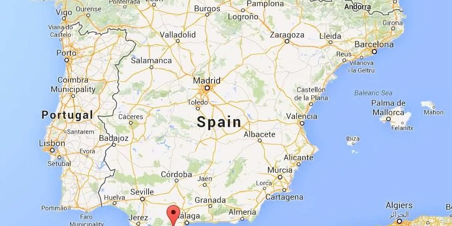
Marbella Map.
Located on Spain’s southern coast, Marbella is a renowned resort city in the Costa del Sol, famous for its luxury lifestyle, vibrant nightlife, and Mediterranean charm. A Marbella map is an essential tool for both first-time visitors and seasoned travelers aiming to explore the city’s diverse neighborhoods, scenic spots, and historical sites.
The map reveals the city’s layout, with the picturesque Old Town (Casco Antiguo) at its heart. Here, cobblestone streets wind through whitewashed buildings, leading to the Plaza de los Naranjos, a lively square filled with orange trees, cafes, and local boutiques. To the south, the Golden Mile stretches along the coast, connecting Marbella’s town center with the upscale Puerto Banús marina, home to luxury yachts, designer shops, and elite restaurants.
Heading inland, the map showcases natural parks and hiking trails in the Sierra Blanca mountains, offering panoramic views of the Mediterranean Sea. To the east and west lie residential areas like Elviria and San Pedro de Alcántara, each with their own beaches, golf courses, and cultural offerings.
Whether for sightseeing, dining, or outdoor adventures, a map helps navigate the city’s rich blend of tradition and modernity. It is a gateway to discovering everything from sun-drenched beaches to hidden Andalusian treasures.
Does your home already appears in the Marbella map?
If not, it might be time to showcase your property’s unique charm. Featuring your home enhances visibility, attracts potential buyers or renters, and places you within Marbella’s vibrant real estate scene. Make your mark—map your home today.


