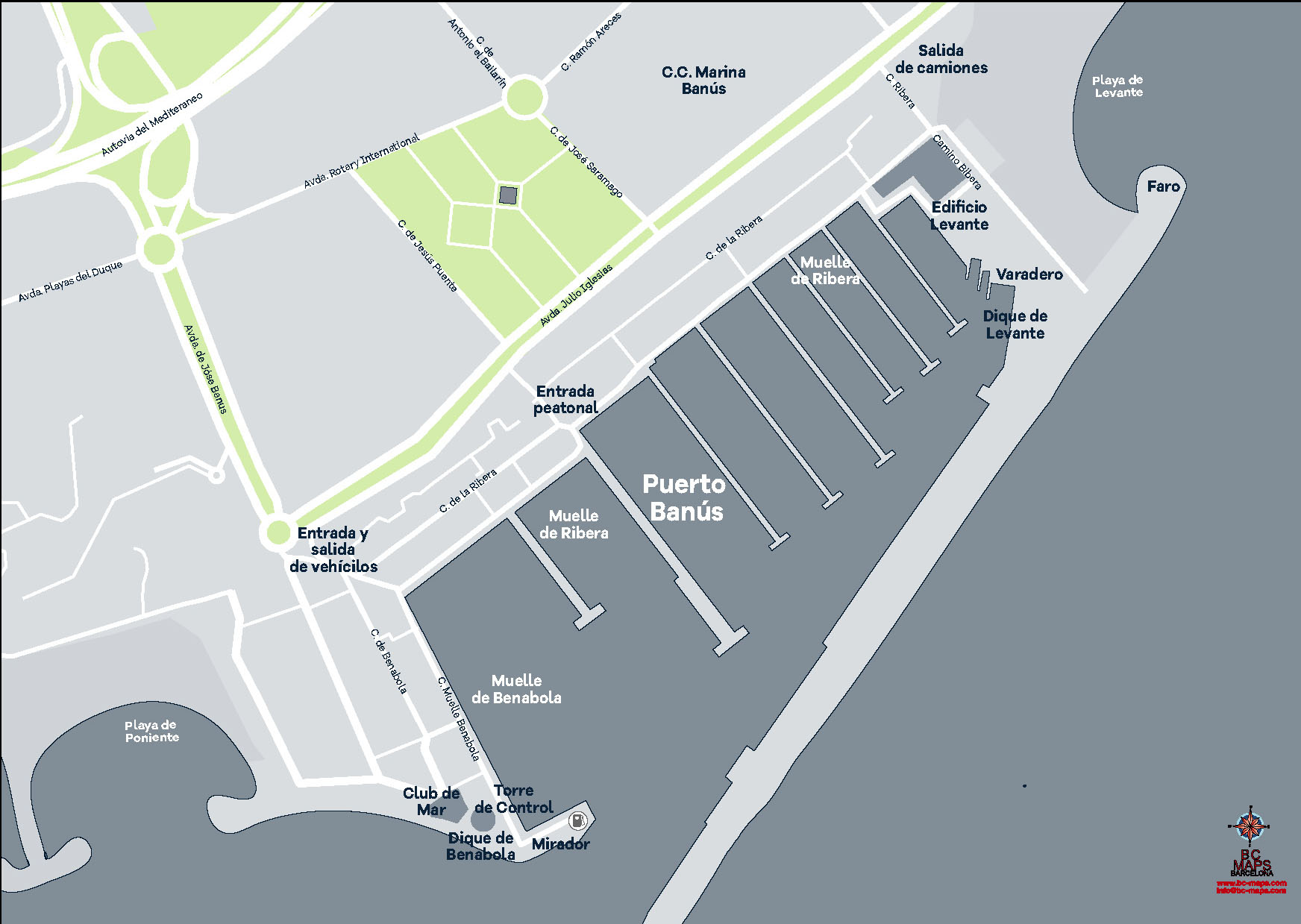
Puerto Banus Map, Marbella.
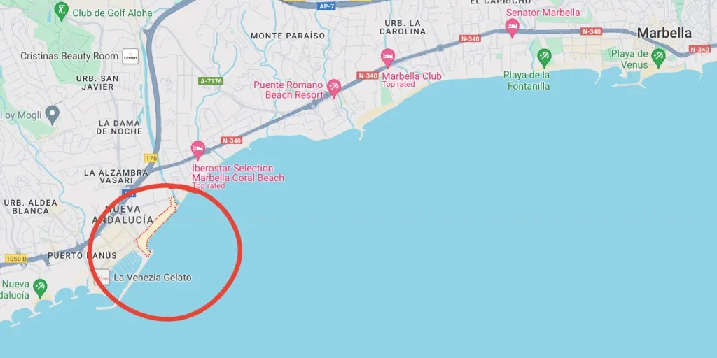
A map of Puerto Banus in Marbella reveals the directions and layout of this glamorous marina and luxury destination on Spain’s Costa del Sol. Positioned west of Marbella’s city center, Puerto Banús is strategically located along the Mediterranean coastline, showcasing an intricate network of streets lined with designer boutiques, fine dining, and lively bars.
In the Nueva Andalucia district of Marbella, Puerto Banús is an well known address boasting charming Mediterranean-style architecture. Developed by local property developer José Banús in 1970, the leisure port has since then become one of the most popular destinations on the Costa del Sol, attracting over 5 million visitors annually, including international celebrities.
The map of the Marina.
The map highlights the iconic marina, filled with yachts, and the nearby beaches, popular for sunbathing and water sports. Surrounding areas feature high-end residential complexes, golf courses, and luxury resorts. Easily accessible from Malaga airport, Puerto Banús’s map reveals a small yet vibrant enclave, blending natural beauty with a cosmopolitan atmosphere that attracts both tourists and luxury property investors.

Puerto Banús is in the south of Nueva Andalucía (the border is the A-7 highway), on the western part of Marbella municipality. It is between the sophisticated Golden Mile, and on the other by the first beach developments of Cortijo Blanco. Puerto Banús comprises not only the seaside port itself, but a semi-circular area all the way to the motorway and a little further. The port is 9 minutes from the centre of Marbella, passing through the n-340 in the Golden Mile and 45 minutes drive from Malaga and 1 hour from Gibraltar and its international airport.
With its stunning apartments, villas, and other types of homes, Puerto Banús is a highly sought-after residential address. Perhaps your dream home in Marbella lies within Puerto Banus.
If you want that your future home appears in Puerto Banus map, just lets us know.


